
 Oh, the Rich Mountain Wildlife Management Area- what a love/hate relationship we have. Love that it's relatively close by and beautiful, hate that I can never seem to navigate it the way I intend to. Yes, I know it's a WMA and it's mostly un-managed, however I keep stabbing away at it hoping to find a magical trail that will actually take me where I want to go. All the while repeating a mantra in my head- "Not All Who Wander Are Lost" x100.
 The first time we went there last fall, we attempted to hike around the southern end of the area off of Hwy 52 in Ellijay near the Cartecay River. Several websites mentioned a loop trail along the Cartecay River, which sounded heavenly because it was still really warm outside and the dogs with us, so they could swim. But we never really found said trail "along" the river so after wandering for a few miles, we gave up. We did see the river, but there didn't appear to actually be a trail along it.
 So I did some more research and found what I thought to be decently clear map/guide which clearly highlighted a trail that would hit both Rich Mountain and Big Bald Mountain (both 4000+) so off we went. I'm not going to post a link to that map because it ended up being confusing once we got there. This time we went to the northern end of the area along Rock Creek Road, near Cherry Log off of Hwy 76.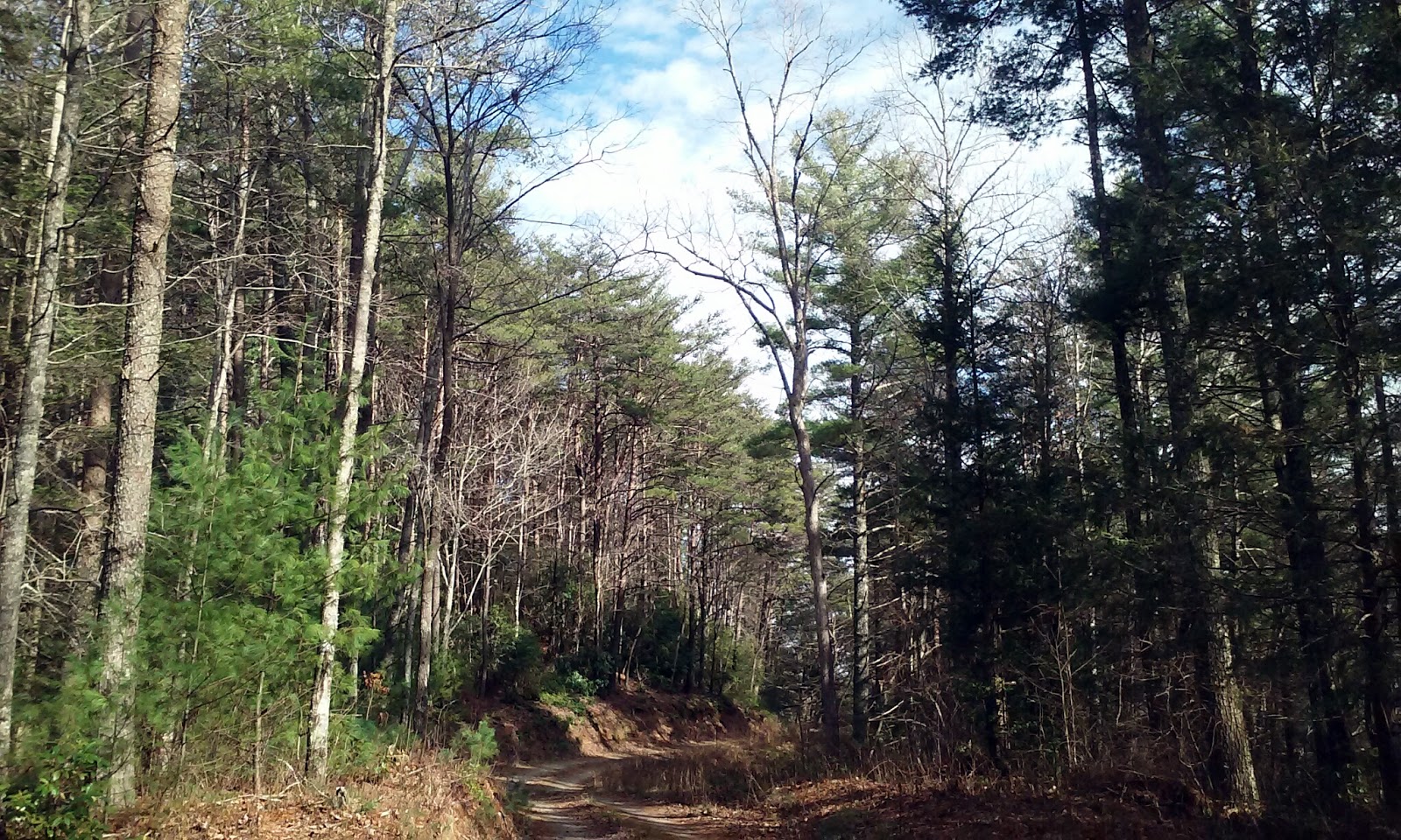
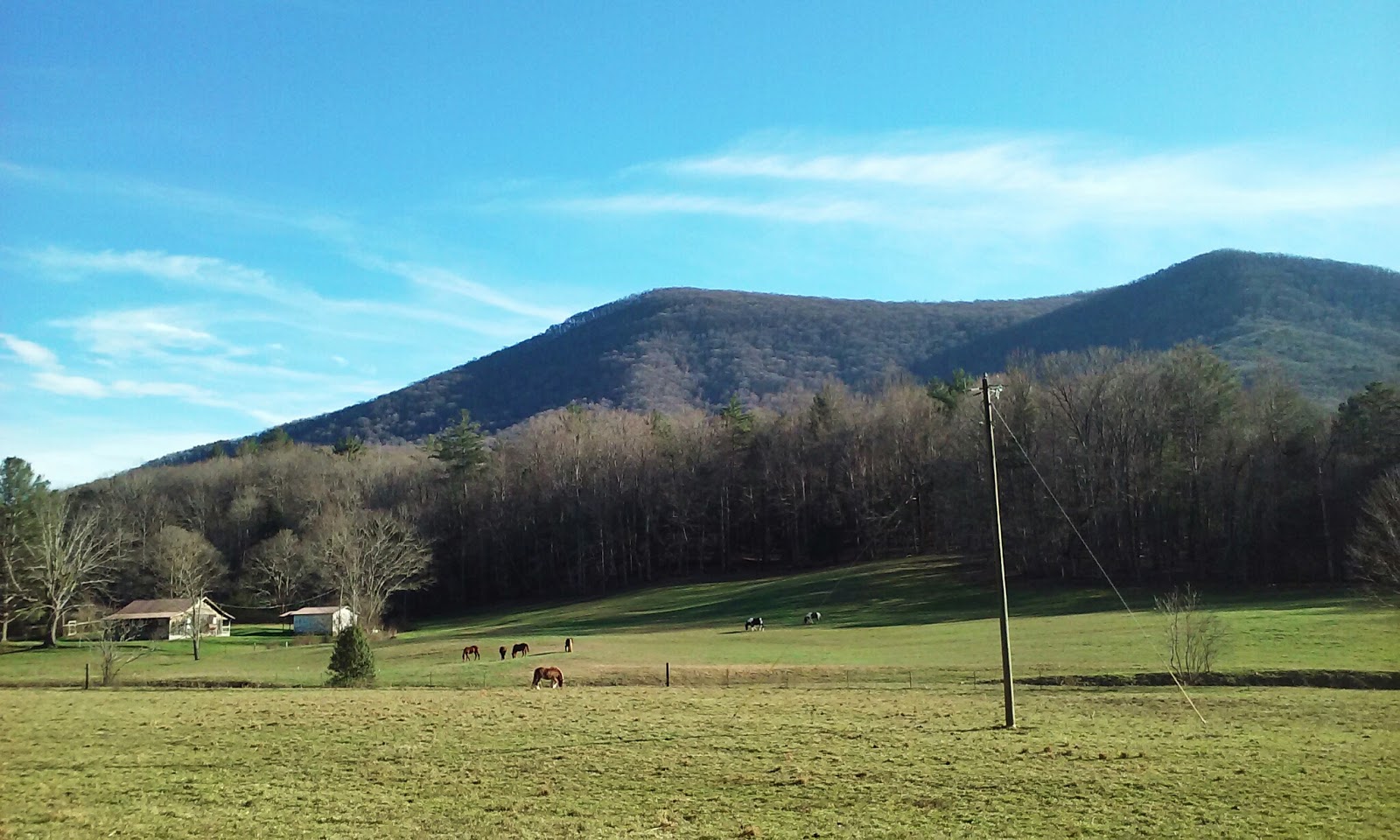
 The drive along Rock Creek Road is stunning, with several large horse pastures and a great view of the mountains.What we ended up hiking was an old gravel road that wound through the woods and crossed several small streams. Apparently it was the trail I actually wanted but from the map we had, I wasn't sure so we only hiked about 5 miles roundtrip. We also reached a water crossing that was too wide to jump and it was really cold out, so we stopped at that point.

 On the map linked below, we were on the black trail that goes south between the Blue ranger station (vacant when we were there) and the Pink parking area (the Aska Trail System). At the Pink parking area, there actually is a bulletin board with the Aska Trails clearly lined out. These go north toward Blue Ridge.
Upon returning home, I was able to find a better map and compare features on it to what we hiked and now that I have that, I would definitely like to return. We will probably hike the same road again and camp overnight, as there were several secluded spots perfect for that, including one with a great fire ring already set up.
It is a very pretty area and just feels rugged. Honestly it reminds me a little bit of Austria, Germany, and Czech Republic where I have been a few times to hike and ski. I mean, seriously, the hills with the horse pastures totally look like the "The Sound of Music". And it's just kind of nice being the only people on the trail.
 One other thing to note with Rich Mountain WMA is that it is predominantly a hunting area. During popular hunting seasons, I myself would probably avoid going there or taking dogs. On the days we've been there within the past few months, though, we've only seen 1-2 other people around.


